Get the latest tech news

Ancient Rome's version of Google Maps: how long to reach the beach


A digital tool lets users explore the Roman Empire’s road network and, using historical data, estimate how long journeys between cities took 2,000 years ago.

None

Get the Android app

Or read this on Hacker News

Read more on:

Photo of version

version

Photo of Google Maps

Google Maps

Photo of Beach

Beach

Related news:

News photo

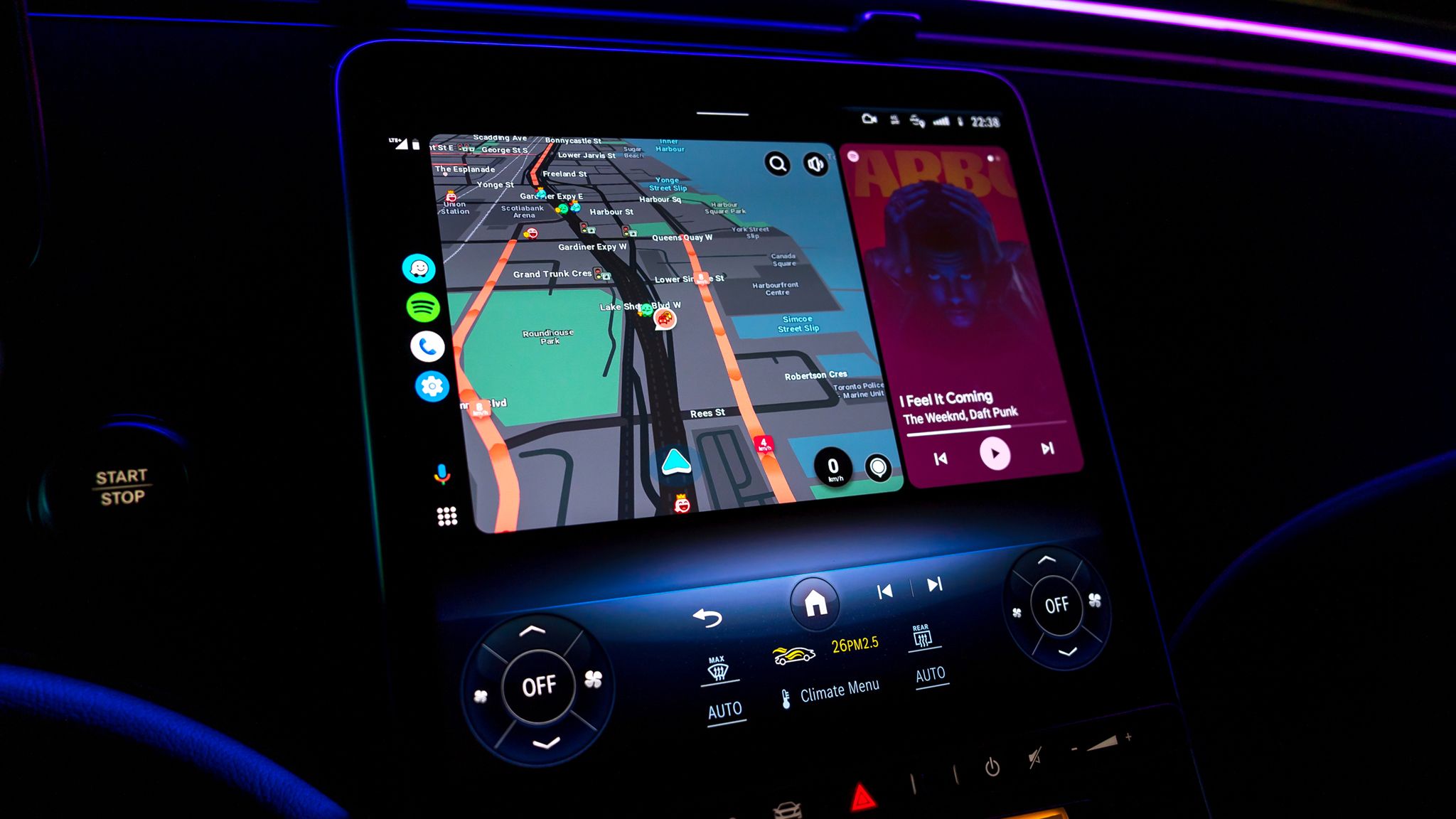
Android Auto is finally getting the Google Maps feature drivers have wanted

News photo

Google Maps said a hike would take 5 hours. B.C. rescuers pointed out how wrong that was

News photo

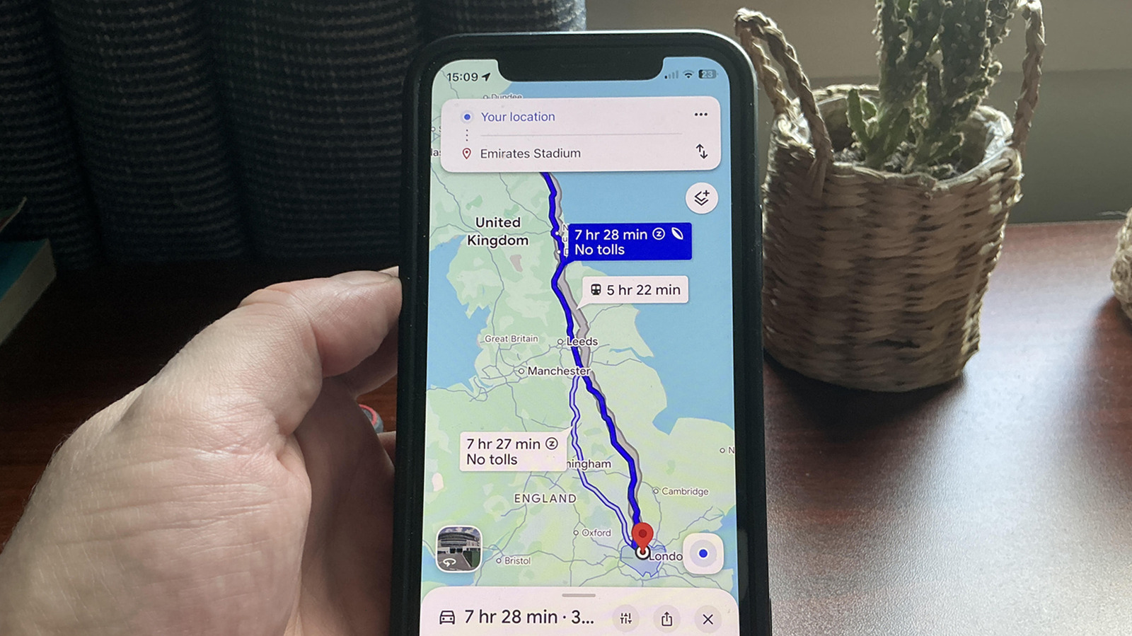
What the leaf icon on Google Maps really means (and why it confuses so many users)