Get the latest tech news
Pokemon Go Data Was Used To Help Train AI Systems Being Developed For Military Drones
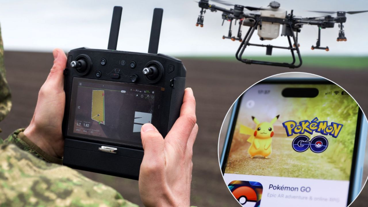
Pokemon Go players' optional location scans reportedly helped train Niantic Spatial's visual positioning system, which uses camera imagery and 3D maps to navigate when GPS is unavailable or jammed. According to DroneXL, that technology is now being paired with Vantor's drone navigation software for ...
None
Or read this on Slashdot