satellite imagery

Read news on satellite imagery with our app.

Read more in the app

GeoDeep's AI Detection on Maxar's Satellite Imagery

Maxar Technologies reportedly restricts Ukraine access to satellite imagery on Trump order

Solving methane mysteries with satellite imagery

Satellite Imagery of Every Outdoor Basketball Court in the USA

Chinese Flying Wing UCAV Testing Accelerating Based On Satellite Imagery, Videos

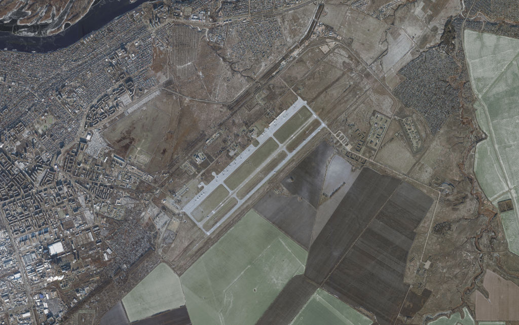
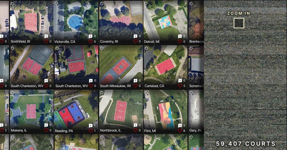
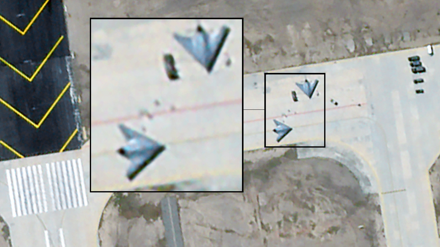
U.S. intelligence agency to evaluate trustworthiness of AI models The National Geospatial Intelligence Agency is creating a standardized framework for evaluating the accuracy of computer vision models used to analyze satellite imagery and other geospatial data

Google will use AI and satellite imagery to monitor methane leaks

AI and Satellite Imagery Used To Create Clearest Map Yet of Human Activity At Sea