Get the latest tech news
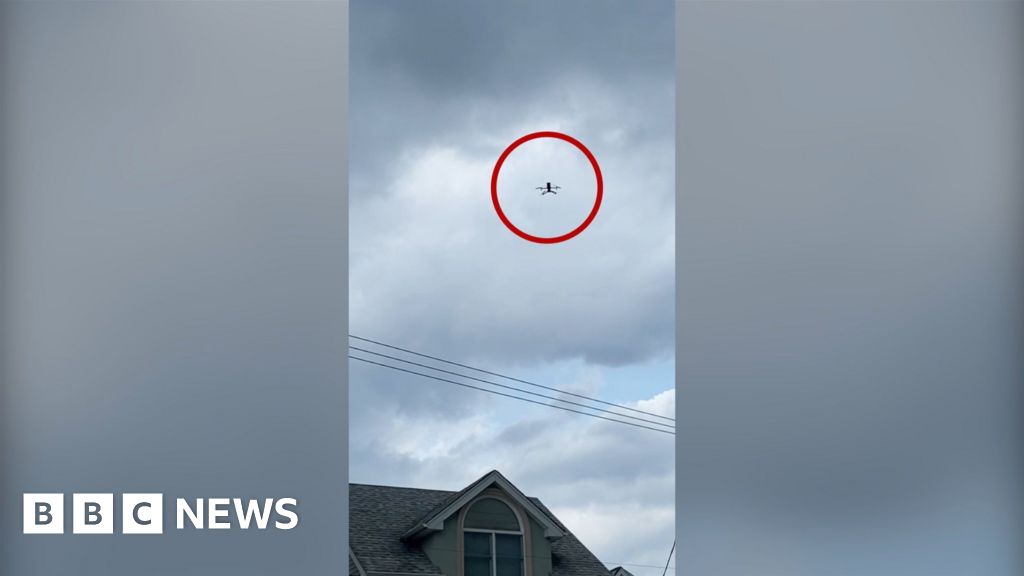
Flying robot can navigate collapsed structures easily, aid disaster response | Hovering six feet up, drones convert 3D lidar data into a 2D map, analyzing pixels to identify doors and rooms.
Carnegie Mellon's drone system optimizes multi-robot exploration, aiding first responders by reducing redundancy and boosting efficiency.
Researchers have devised an innovative system for autonomous aerial robot exploration and multi-robot coordination inside abandoned structures. The novel approach created by a team at Carnegie Mellon University’s Robotics Institute (RI) could assist first responders in gathering data and making more intelligent judgments following a disaster. This map displays the space’s layout as an image composed of cells or pixels, which the drones then examine for structural features indicating doors and rooms.
Or read this on r/tech