Get the latest tech news
GeoDeep's AI Detection on Maxar's Satellite Imagery
Benchmarks & Tips for Big Data, Hadoop, AWS, Google Cloud, PostgreSQL, Spark, Python & More...
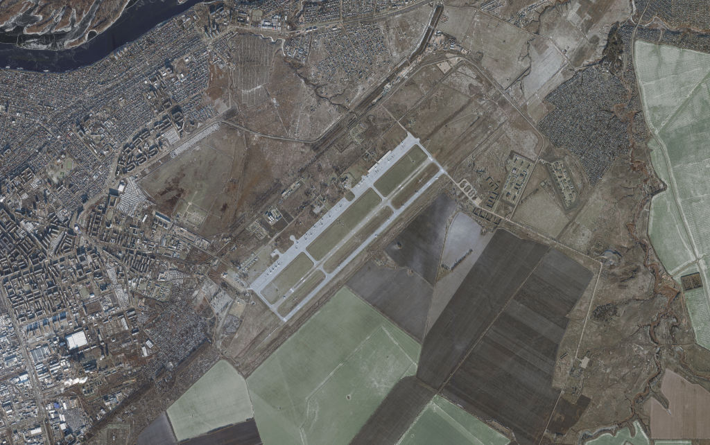
In this post, I'll run some of GeoDeep's built-in AI models on Maxar's satellite imagery of Myanmar and Bangkok, Thailand. The dark, non-satellite map of Maxar's imagery locations above is mostly made up of vector data from Natural Earth and Overture. I couldn't see any baseball fields, swimming polls or tennis courts in Maxar's image so I'll have to call all those detections false-positives.
Or read this on Hacker News