Get the latest tech news
Homegrown digital road maps turn into lifelines for West Bank’s Palestinians
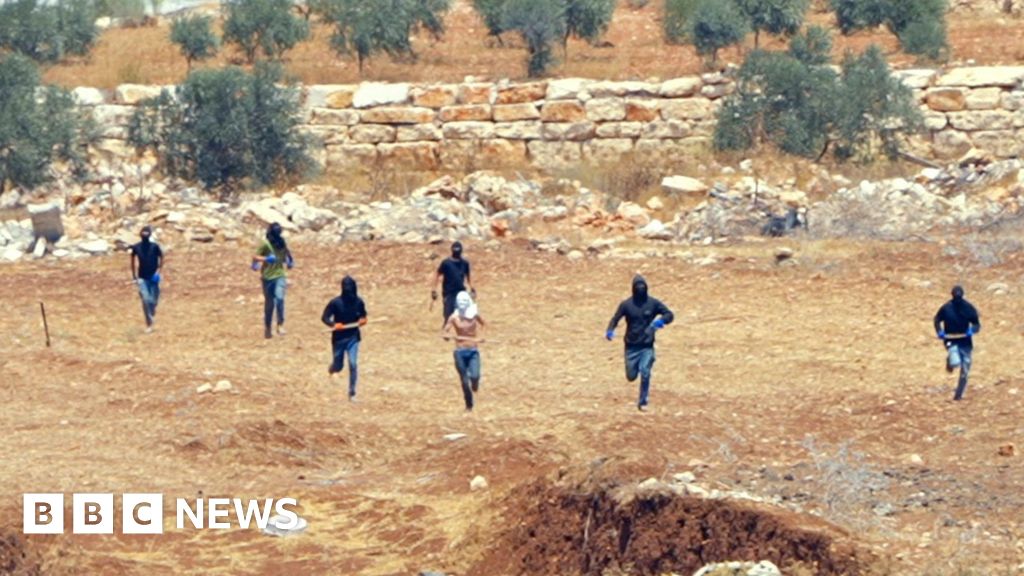
Community-built tech solutions are helping Palestinians navigate blockades and risks in the Israel-occupied territory.
Screenshot of the Azmeh app showing the Al-Bireh checkpoint is clear for passing, but warns of congestion.Azmeh“We are stranded for hours, sometimes from sunrise to sunset,” Rakan Said, a minibus driver with 20 years of experience, told Rest of World. Doroob Navigator, which has more than 200,000 active users, was created by Palestinian tech entrepreneur Mohammad Abdel Haleem when a drive using Google Maps between the West Bank cities of Bethlehem and Ramallah left him lost in a remote valley. During the Intifadas — mass Palestinian uprisings against Israeli occupation during 1987–1993 and 2000–2005 — neighborhoods organized committees to distribute food, run schools, and provide healthcare when normal life was disrupted.
Or read this on Hacker News